Purepoint
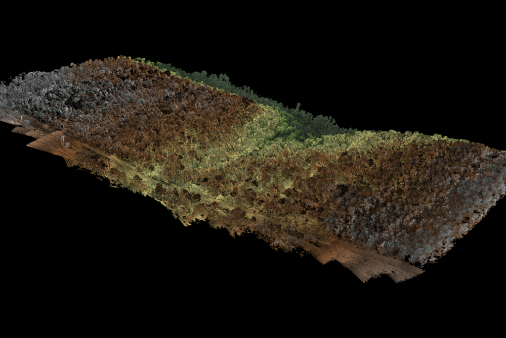
Post-processing software.
Here you can access resources to help you use your Routescene products. Select from your products below to find the product User Guides, training videos, Frequently Asked Questions, sample datasets, news and updates and information about your licenses.
Post-processing software.
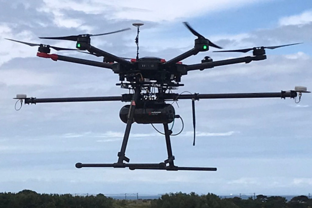
LiDAR 3D mapping systems for use on drones.
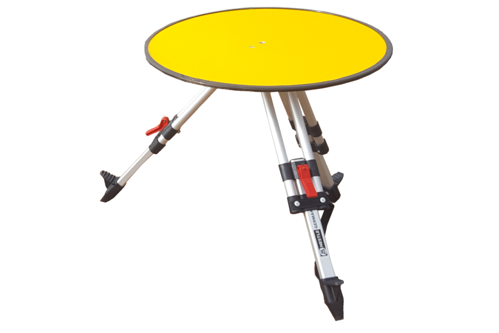
Ground Control Targets to improve and verify survey accuracy.
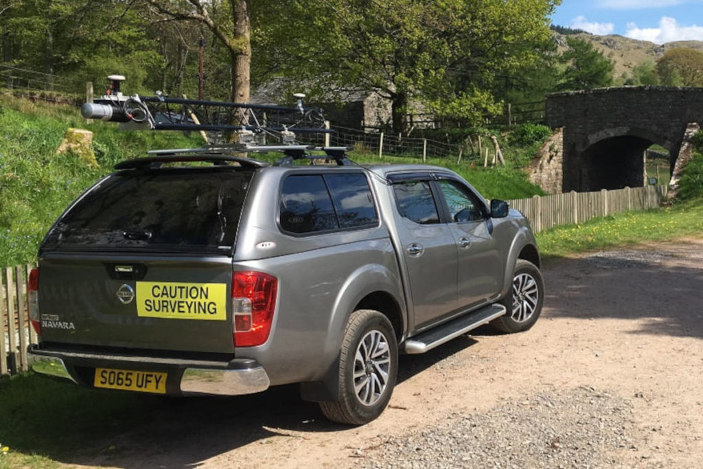
Vehicle 3D mapping system for outdoor use.